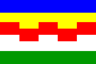
 Shipmate Flagchart : http://www.shipmate.nl/flags.htm
adopted on 5 Apr 2001

Last modified: 2003-06-28 by jarig bakker
Keywords: maasdriel |
Links: FOTW homepage |
search |
disclaimer and copyright |
write us |
mirrors
 Shipmate Flagchart : http://www.shipmate.nl/flags.htm
adopted on 5 Apr 2001
![[Maasdriel CoA]](../images/n/nl-ge)md.jpg) image from the Maasdriel municipal website.
image from the Maasdriel municipal website.
Granted 18 Aug 2000.
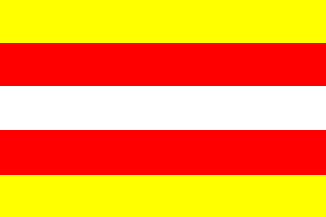 Shipmate Flagchart : http://www.shipmate.nl/flags.htm
Maasdriel is a municipality in the Bommeler Waard, just north of 's
Hertogenbosch. Its proper name should be Driel, but there is another village
with the same name (in Heteren municipality), so it was given the adjective
of the river it lies on in 1943.
The flag was adopted 8 June 1956, derived from the municipal CoA
Jarig Bakker, 6 October 1999
 Shipmate Flagchart : http://www.shipmate.nl/flags.htm
adopted 12 Mar 1953.
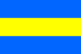 Shipmate Flagchart : http://www.shipmate.nl/flags.htm
never officially adopted.
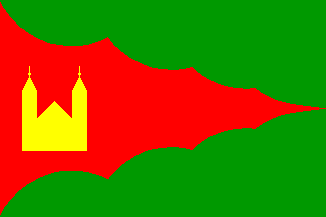 Shipmate Flagchart : http://www.shipma